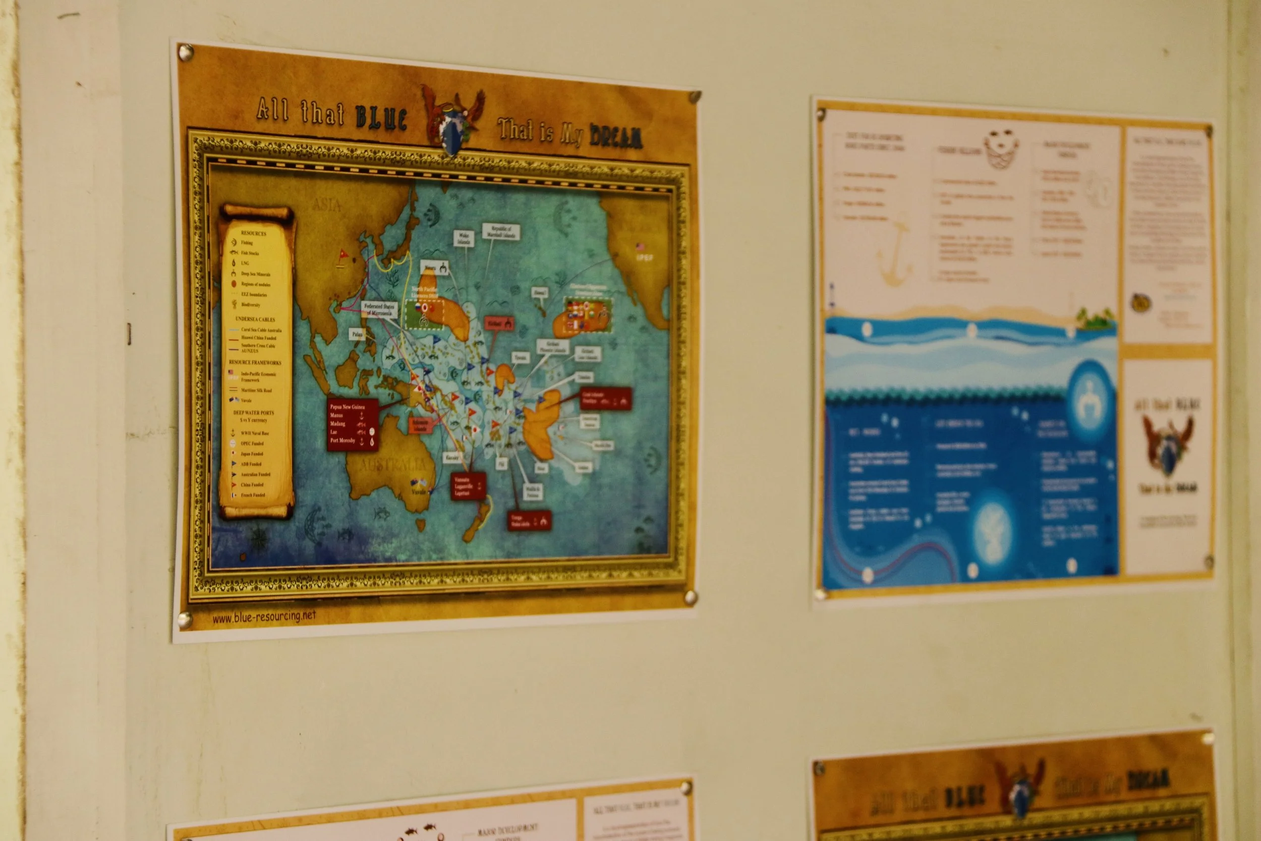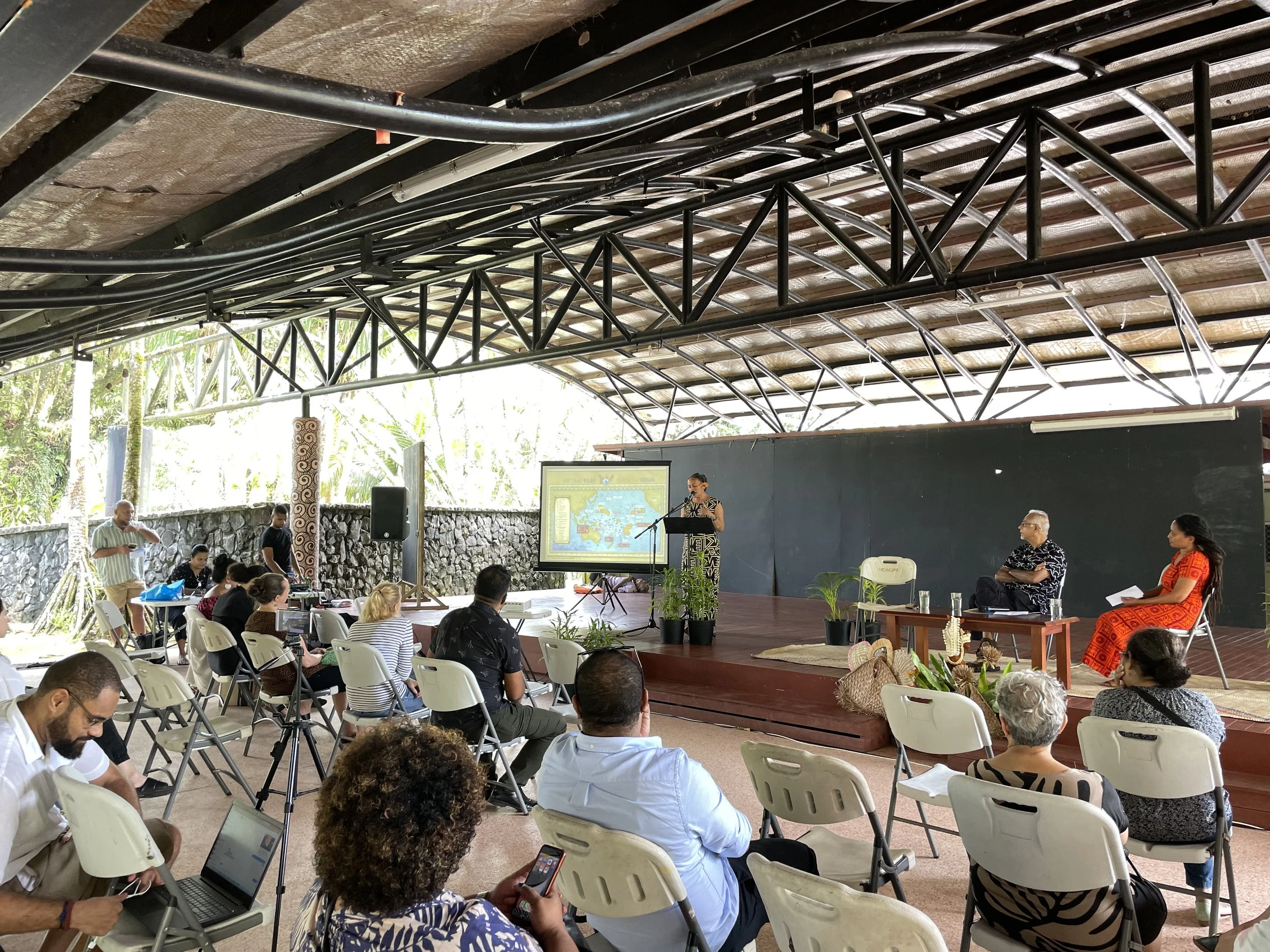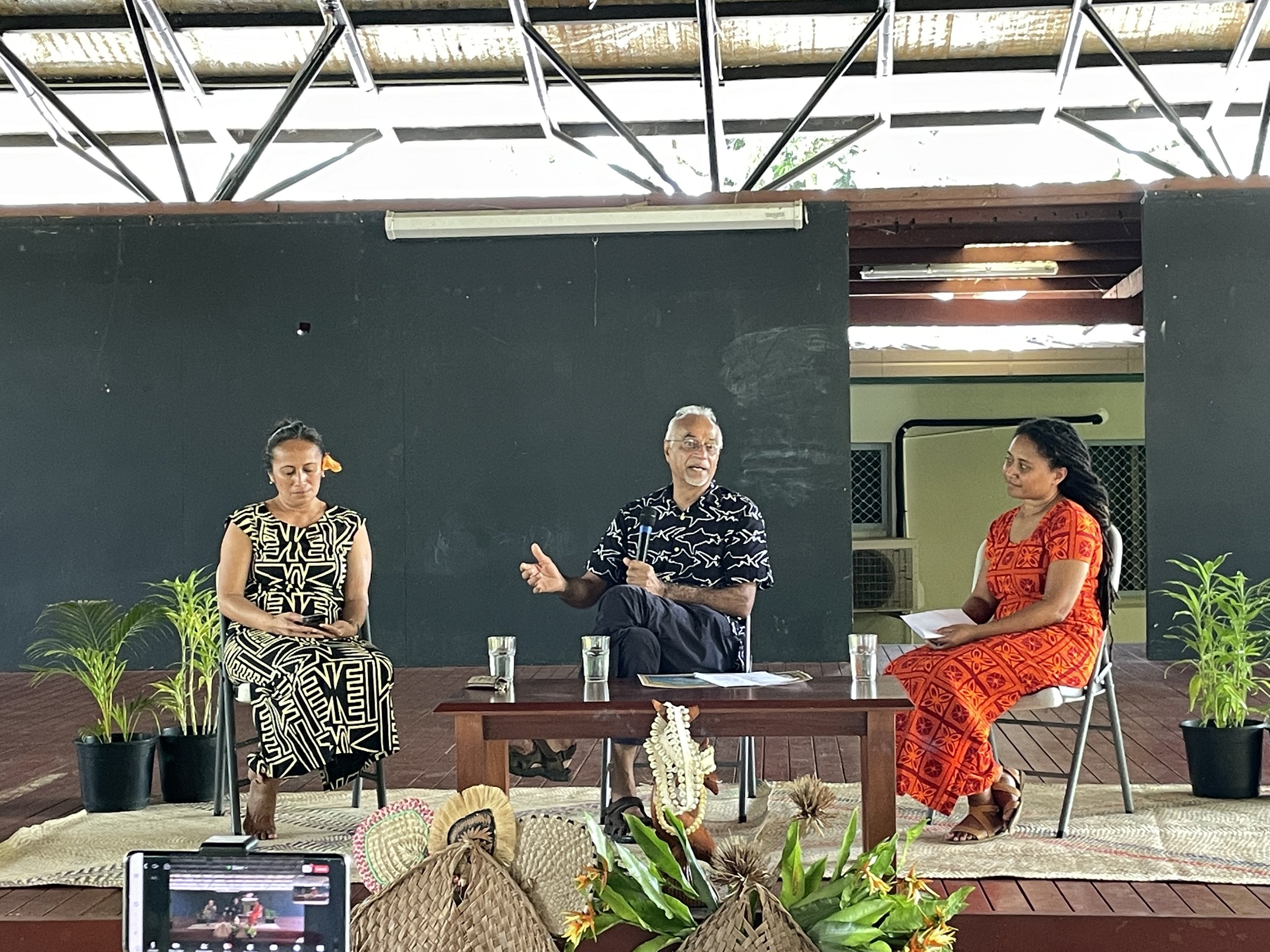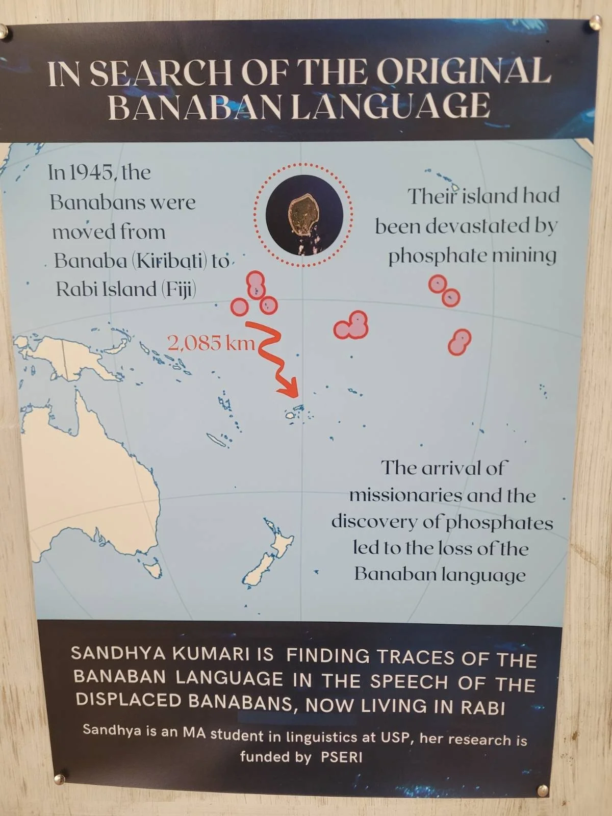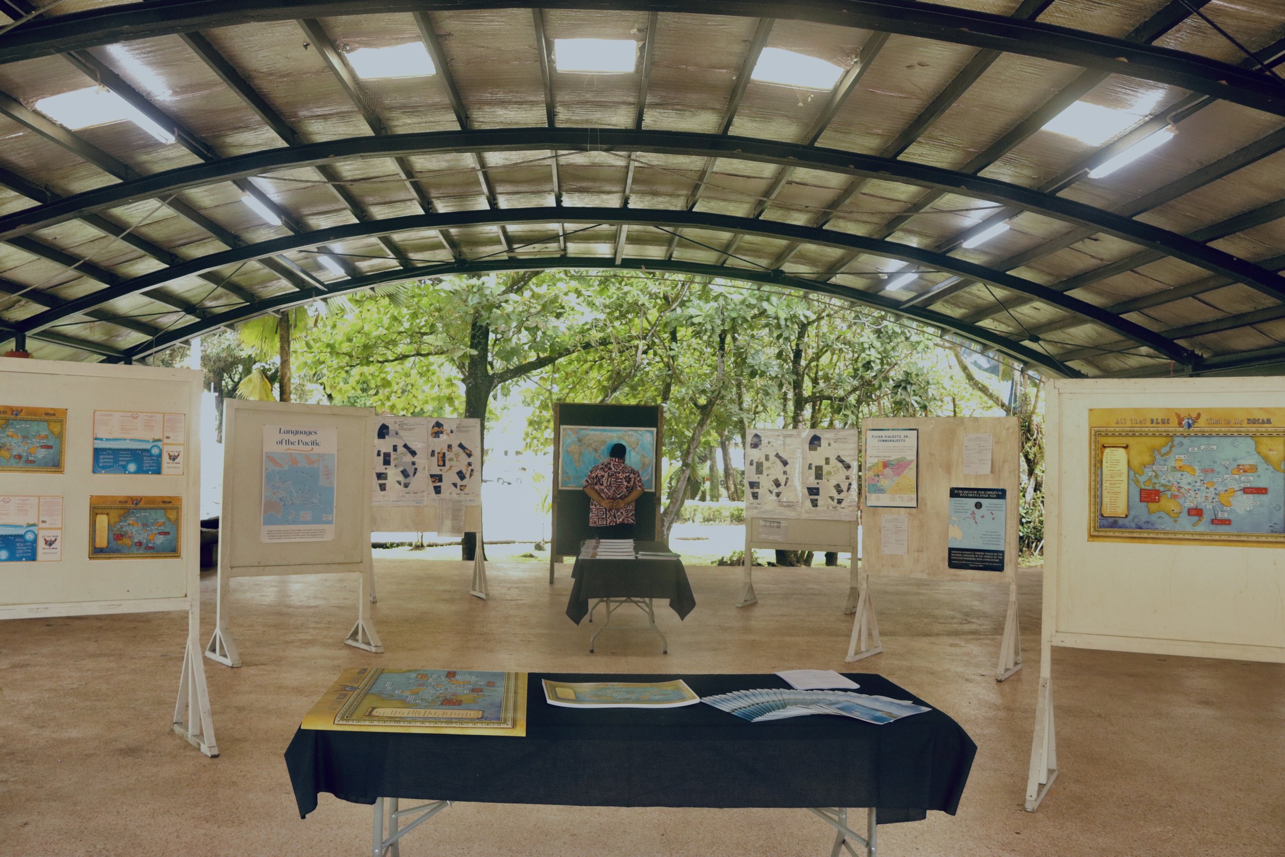
On October 27, the “All That Blue, That is My Dream” map was launched by PANG and exhibition partners the University of the South Pacific Linguistics Department and IUCN
Introductory Statement
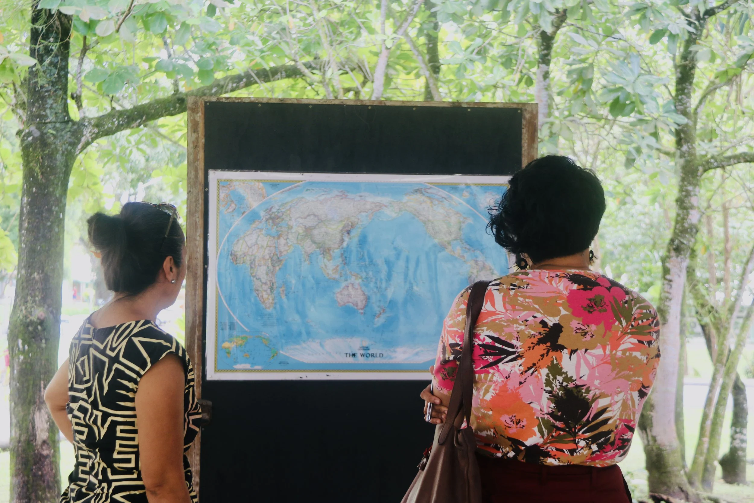
“Divisions of territories and peoples appeared when colonial powers entered the region. Planting flags on our islands, demarcating boundaries and imposing limits, cementing private ownership, and securing resources for their homelands. In this manner, the Pacific was colonized. The Pacific Ocean, its peoples, islands, seas plotted very clearly on THEIR MAPS; MAPS they used to project and exert geopolitical and geo-economic power and control.
Today, a new form of colonialism is taking place. No longer is it only on land but pivoted to the ocean. It is based on the premise – ALL THAT IS BLUE, THAT IS MY DREAM. The rush by global powers to carve out zones in the Pacific Ocean once again displaying and demonstrating power, control and intentions for the Pacific ocean.”